
FAQs
Your questions answered
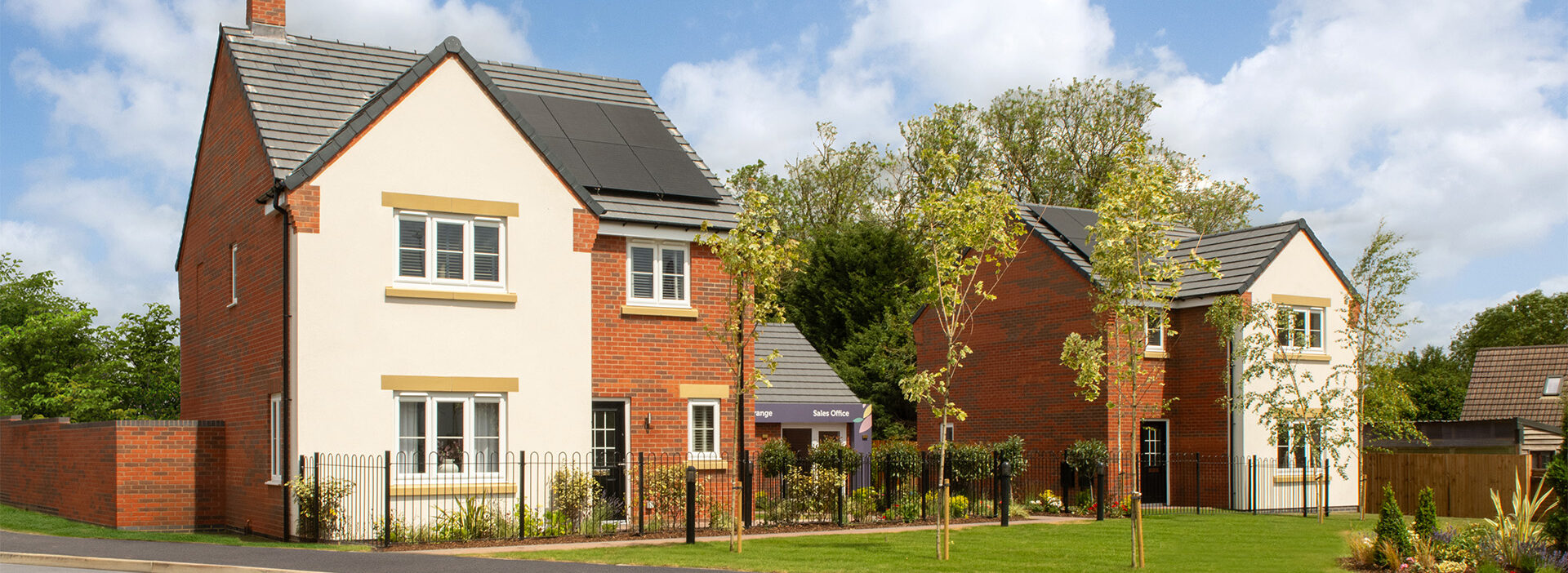
The site is located on land east of Peterborough Road on the northern edge of Market Deeping.
Why is the site being proposed for new homes?
The site has been identified as a draft allocation in the emerging South Kesteven Local Plan, meaning the Council has recognised its potential to accommodate new homes. South Kesteven also needs to deliver more than 900 new homes each year to meet demand, with over 1,000 households currently on the housing waiting list.
How are infrastructure improvements implemented?
Before applying for planning permission, we assess local services like roads, schools and healthcare. We then work with councils and service providers to agree what improvements are needed. If the development is approved, funding for these improvements is secured through legal agreements and delivered as the project progresses.
Will there be affordable housing?
Yes. A minimum of 30% of the homes on the site will be designated as affordable housing. These could include a mix of homes for social rent, affordable rent, and shared ownership. The exact type and mix will be agreed in consultation with the South Kesteven District Council as the plans progress.
How will local roads be affected?
Transport specialists are assessing the expected impact on the local road network. This includes looking at traffic flows, access arrangements and opportunities to enhance walking and cycling routes. Any mitigation required will be agreed with Lincolnshire County Council as the highways authority and included within the planning application.
What impact will the development have on local schools and healthcare?
As part of the planning process, we are assessing the capacity of local schools, healthcare providers and other services. If improvements or additional funding are required, these will be agreed with South Kesteven District Council and relevant service providers through the planning process.
How are you managing drainage and flood risk?
Specialist engineers are carrying out assessments to understand how the site currently drains and how surface water can be safely managed. Sustainable drainage systems, such as swales or attenuation basins, are being explored to help reduce flood risk both on and off the site.
How will wildlife and biodiversity be protected?
Environmental surveys are underway to understand existing habitats and species. The proposals include measures to improve biodiversity across the site, such as new planting and enhancements to existing landscape features.
How can I provide my feedback?
You can share your views by completing our online survey. You can also contact the project team directly using the details on this website. All feedback received will help shape the proposals before the planning application is submitted.